 Today, we tested out some new project gear: a GPS tracker that takes waypoints while you move (which you can later match to your images, if you synchronized the camera's time properly before going out).
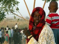
 The Zinder bush is amazing. I didn't know I had so many favourite routes until I decided that I wanted to map out all the villages!
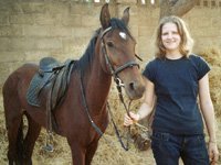
  Nettus and I are lucky to have such eager mounts - and I know few horses (even race horses) who do not prefer the never-ending soft sandy tracks (full of variation!) to the heavy monotonous circle at the race track.
 Now, if you have good horses, and you have muscles enough to sit through a long gallop, then there's a breathtakingly beautiful and peaceful hill far away from what we call civilisation, with doom palm trees and century old baobabs. I just love it!
 So if you're planning a visit to Niger and want me to take you out for a guided tour, let me know.
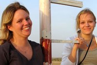
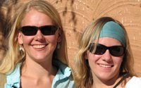
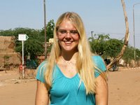
Ishtar


.jpg)

.jpg)


1 comment:
Hello Ishtar! I love your blog site, my company happened to stumble upon your blog and we are so excited! We are actually supporting Plant It 2020 in a quest to help the Eden Foundation in Niger. We too, want to assist the people in Niger to create a sustainable life for themselves! I would love the opportunity to speak to you, via email, about what you do in Niger and about the people in your community. We are thinking about making a trip there to shoot a documentary of sorts for our website. We are creating a website/online game for children that allows them to help with real world projects, like the Eden Foundation.
Like I said, I would love the opportunity to speak to you! I think you are part of some wonderful things there and would love to learn more about it! You can reach me at mford@goodeggstudios.com.
Thank you so much!
Melanie Ford
Post a Comment